General Information
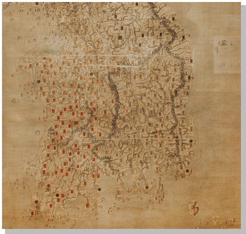
The area of Hongcheon -gun is 1,819.60㎢. It is a mid-mountain region surrounded by branches of large and small mountain ranges. large and small. The Hongcheon River, a branch stream of the Bukhan River which flows through the urban area of Hongcheon-eup flows west from the watershed of the Taebaek Mountain range and meets with the Bukhan River at Seorak-myeon, Gapyeong-gun, Gyeonggi-do to and from a small plain in that area. On the map, Hongcheon ranges from a longitude of east 127 degrees 32 minutes to 128 degrees 51 minutes. It meets with Inje-gun and Yangyang-gun to the northeast, Hoengseong-gun and Pyeongchang-gun to the south, Yangpyeong-gun, Gyeonggi-do to the west, and with the city of Chuncheon to the north.
Location
Hongcheon-gun is a mountainous region branching out from the Baegdu Mountain range located at the center of Korean Peninsula that forms a canyon. Hongcheon-gun is located at the following location.
| Bearing | Extreme point of longitude and latitude | Total Length | |
|---|---|---|---|
| Name of place | Position | ||
| Eastern end | Myeonggae-ri,Nae-myeon | East Longitude 128˚51'50" North Longitude 37˚51'30" |
From East to West 93.1㎞ |
| Western end | Dongmak-ri,Seo-myeon | East Longitude 127˚32'40" North Longitude 37˚38'60" |
|
| Southern end | Sidong-ri,Nam-myeon | East Longitude 127˚51'00" North Longitude 37˚32'80" |
From North to South 39.4㎞ |
| Northern end | Jangnam-ri,Duchon-myeon | East Longitude 128˚01'10" North Longitude 37˚56'50" |
|
| Coordinates 022721 | |||
Geographical Features
The area of Hongcheon -gun is 1,819.60㎢. It is a mid-mountain region surrounded by branches of large and small mountain ranges. large and small. The Hongcheon River, a branch stream of the Bukhan River which flows through the urban area of Hongcheon-eup flows west from the watershed of the Taebaek Mountain range and meets with the Bukhan River at Seorak-myeon, Gapyeong-gun, Gyeonggi-do to and from a small plain in that area. On the map, Hongcheon ranges from a longitude of east 127 degrees 32 minutes to 128 degrees 51 minutes. It meets with Inje-gun and Yangyang-gun to the northeast, Hoengseong-gun and Pyeongchang-gun to the south, Yangpyeong-gun, Gyeonggi-do to the west, and with the city of Chuncheon to the north.